The Oregon Country, November 23-25, 2000
  
 
Day 1 - Thursday, November 23
 
foggy_Bellevue.JPG (35335 bytes) Eating_Factory.JPG (47580 bytes) 
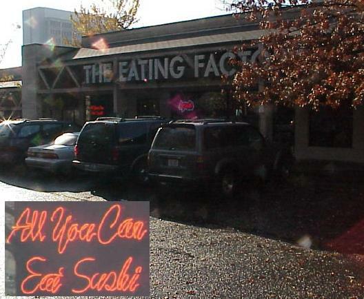
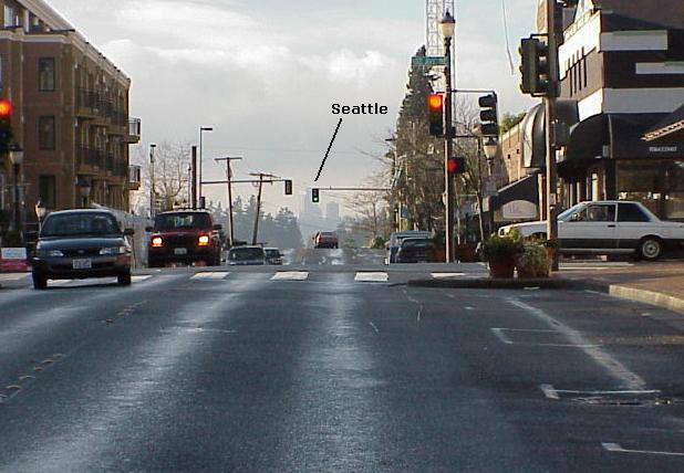
Thanksgiving Day... foggy Bellevue... lunch at the Eating Factory Japanese Buffet...
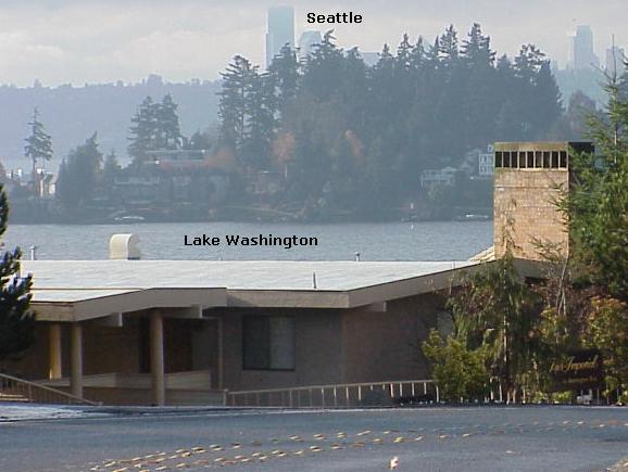
  
Meanwhile, back in Charlotte... click here...
 
Bellevue.JPG (46856 bytes) Bellevue2.JPG (39285 bytes) Bellevue3.JPG (60263 bytes) Leaving Bellevue...
 
I-90_bridge_Seattle.JPG (14071 bytes) I-90_bridge_tunnel.JPG (19166 bytes) Tacoma.JPG (58304 bytes) 
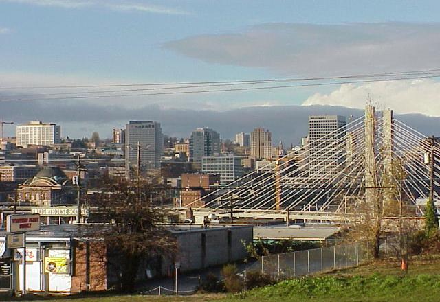
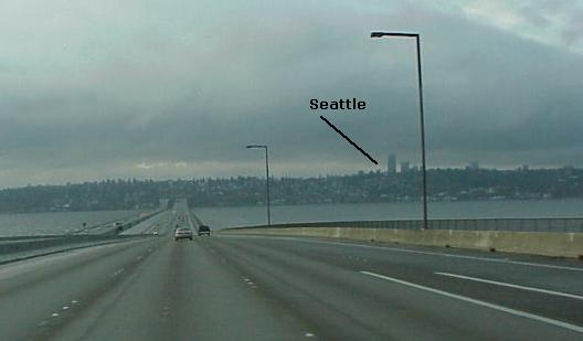
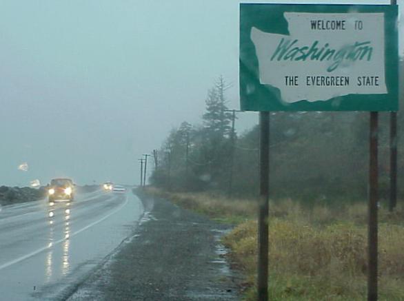
Through Seattle and Tacoma...
 
map.JPG (69017 bytes) 
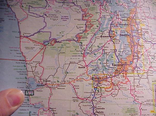
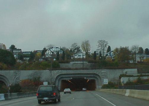
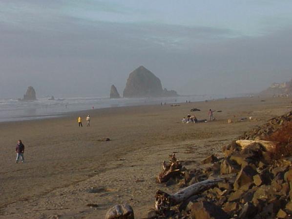
I drove from Seattle through Tacoma and Olympia, through Aberdeen and straight for the Pacific Ocean between Westport and Grayland...
 
Pacific_Ocean.JPG (55750 bytes) Pacific_Ocean_house.JPG (24664 bytes) 
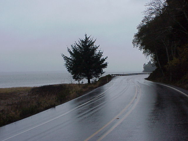
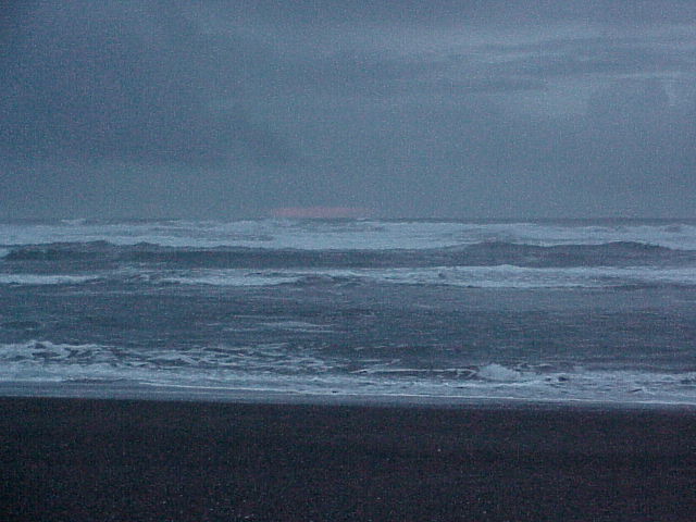
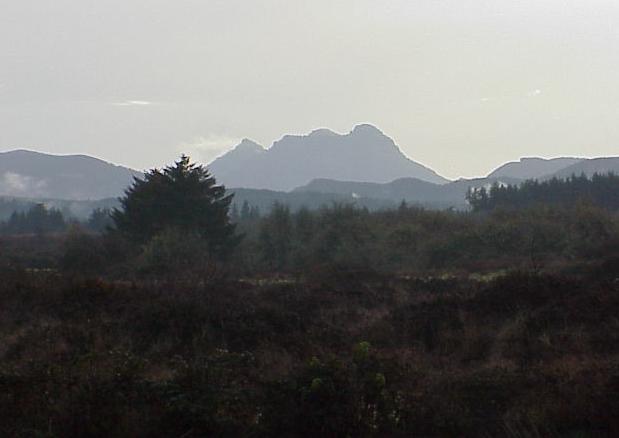
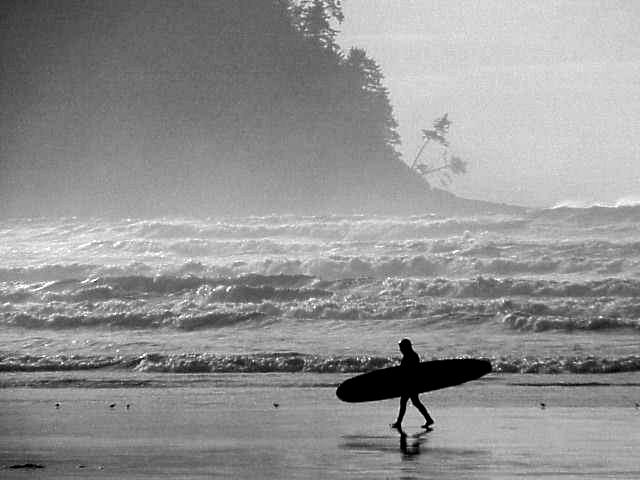
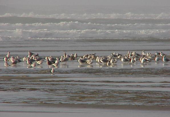
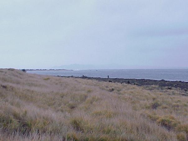
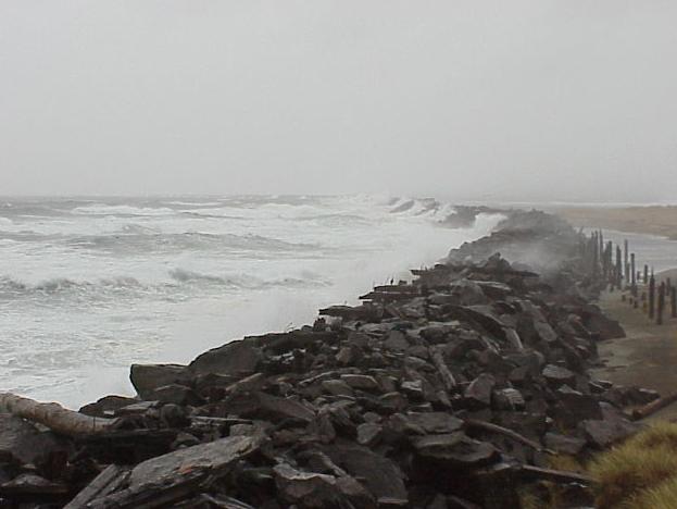
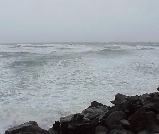
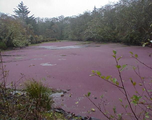
The mighty Pacific Ocean just south of Westport, Washington. Chilly, windy, foggy, rainy... dark and desolate... and beautiful...
 
Crossing the Lewis and Clark Trail where the Columbia River reaches the Pacific Ocean, on the Washington side of the Astoria Bridge... and then Oregon, where I reached the entrance of Ft. Clatsop, near Astoria. Ft. Clatsop was the camp constructed by the Lewis & Clark expedition upon reaching the Pacific and is where they spent the winter of 1805 / 1806. I'm spending the night at the Red Lion Inn, in nearby Astoria, Oregon. My room is literally on the edge of the mouth of the great Columbia River and a mere couple of hundred yards west of the Astoria Bridge. I'll have a nice view from my balcony in the morning...
 
Lewis_and_Clark_Trail.JPG (17215 bytes)  Oregon.JPG (22955 bytes)  Ft_Clatsop.JPG (22371 bytes)


Day 2 - Friday, November 24
 
Early morning view of the Columbia River and the Astoria Bridge...
 
room_view.JPG (75555 bytes)  room_view2.JPG (74821 bytes)  room_view3.JPG (70127 bytes)  room_view4.JPG (35868 bytes)  room_view_WA_mountains.JPG (59832 bytes)
 
room_view_birds.JPG (46801 bytes)  room_view_bird.JPG (26326 bytes)  room_view_bird2.JPG (14319 bytes)  room_view_bird3.JPG (13726 bytes)  room_view_tugboat.JPG (31880 bytes)
 
room_view_water_tower.JPG (38474 bytes)  Red_Lion_Inn.JPG (35886 bytes)  Red_Lion_rail.JPG (44528 bytes)  Astoria_Bridge.JPG (27349 bytes)  Astoria.JPG (36158 bytes)
 
The Lewis & Clark Expedition constructed Ft. Clatsop, near Astoria, upon reaching the great western ocean... here they spent the winter of 1805 / 1806...
Astoria_countryside.JPG (19260 bytes)  Astoria_countryside2.JPG (27126 bytes)  Ft_Clatsop_Center.JPG (50816 bytes)  Ft_Clatsop_plaque.JPG (48540 bytes)  Ft_Clatsop_plaque2.JPG (28315 bytes)  Ft_Clatsop.JPG (91909 bytes)
 
Ft_Clatsop2.JPG (90543 bytes)  Ft_Clatsop_back.JPG (86450 bytes)  Ft_Clatsop_inside.JPG (49130 bytes)  Ft_Clatsop_trees.JPG (102352 bytes)  Ft_Clatsop_trees2.JPG (94596 bytes)
 
Ft_Clatsop_trees3.JPG (85079 bytes)  Ft_Clatsop_pirogue2.JPG (73103 bytes)  Ft_Clatsop_landing.JPG (67100 bytes)  Ft_Clatsop_landing2.JPG (44976 bytes)  2_new_books.JPG (43979 bytes)
 
Click here to see my pictures of Ft. Mandan, in South Dakota, where the expedition spent the winter of 1804 / 1805...
 
The Lewis & Clark Saltworks, at Seaside, Oregon. This site is about 10 miles south of Ft. Clatsop and is where where members of the Expedition produced salt for the return trip to St. Louis. I first read the Lewis and Clark journals at Catawba College in 1978 and I've imagined a thousand times what it must have been like to cross the Bitterroot Range in Idaho... to descend the great Columbia River in Washington and Oregon... carving out Ft. Clatsop where the Columbia empties into the Pacific... and making salt from the Pacific Ocean at what is now Seaside... 
 
Seaside_Lewis_Clark_Saltworks.JPG (67945 bytes)  Seaside_Lewis_Clark_Saltworks2.JPG (44742 bytes)  Seaside_Lewis_Clark_Saltworks3.JPG (60595 bytes)  Seaside_Lewis_Clark_Saltworks5.JPG (89161 bytes)  Seaside_Lewis_Clark_Saltworks7.JPG (46388 bytes)
 
Seaside_coast.JPG (24069 bytes)  Seaside_coast2.JPG (20431 bytes)  Seaside_coast_surfer.JPG (29098 bytes)  Seaside_mountain.JPG (37821 bytes)  Seaside_Lewis_Clark_St.JPG (34633 bytes)
 
Ecola and Cannon Beach, just south of Seaside...
 
Ecola_plaque.JPG (76185 bytes)  Ecola.JPG (40937 bytes)  Cannon_Beach2.JPG (13264 bytes)  Cannon_Beach5.JPG (20832 bytes)  Cannon_Beach6.JPG (35003 bytes)
 
Cannon_Beach8.JPG (13850 bytes)  Cannon_Beach10.JPG (27861 bytes)  Cannon_Beach7.JPG (41793 bytes)  Cannon_Beach.JPG (29548 bytes)  Cannon_Beach4.JPG (38821 bytes)
 
Seaside_Espresso_BBQ.JPG (47249 bytes)
 
... spent the night at Seaside within a few hundred yards of the Saltworks, where i could hear the roar of the Pacific Ocean even as I wrote these words...


Day 3 - Saturday, November 25
 
Saturday morning in Seaside, Oregon...
Seaside_Edgewater_Inn.JPG (54434 bytes)  Seaside_Broad_St.JPG (41658 bytes)  End_Of_Trail.JPG (40024 bytes)  End_Of_Trail3.JPG (53442 bytes)  End_Of_Trail_Explorer2.JPG (37983 bytes)
 
Ft. Stevens State Park... at the mouth of the Columbia River and the stormy Pacific Ocean. This is the extreme northwestern corner of Oregon. Conditions on the Pacific (at South Jetty) were harsh. It was cold and rainy, and the wind was blowing at 40 mph sustained, with gusts up to 55 mph. It was considerably more calm just a couple of miles inland...
Columbia_River_mouth.JPG (32745 bytes)  Columbia_River_mouth2.JPG (26378 bytes)  South_Jetty_Explorer.JPG (27774 bytes)  South_Jetty_warning.JPG (48184 bytes)  Pacific_South_Jetty.JPG (30446 bytes)
 
Pacific_South_Jetty2.JPG (28958 bytes)  Pacific_ship_wreck.JPG (24792 bytes)  tidal_pool.JPG (46751 bytes)
 
Back through Astoria, Oregon...
 
Astoria_water_tower.JPG (15133 bytes)  Astoria_welcome.JPG (45283 bytes)  Astoria_smoked_fish.JPG (31864 bytes)  Astoria_lunch_window_view.JPG (45012 bytes)  Astoria_lunch.JPG (59166 bytes)
 
Astoria_Bridge.JPG (18576 bytes)  Astoria_Bridge2.JPG (21812 bytes)
 
WA_welcome.JPG (24188 bytes) WA_smelt.JPG (59114 bytes) 
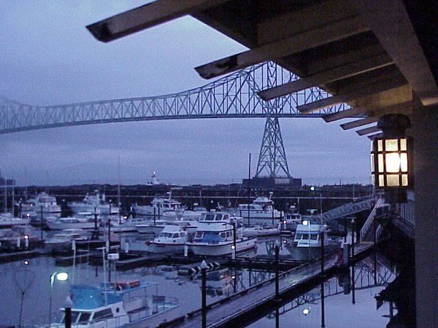
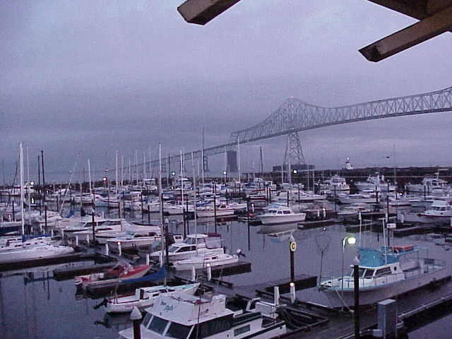
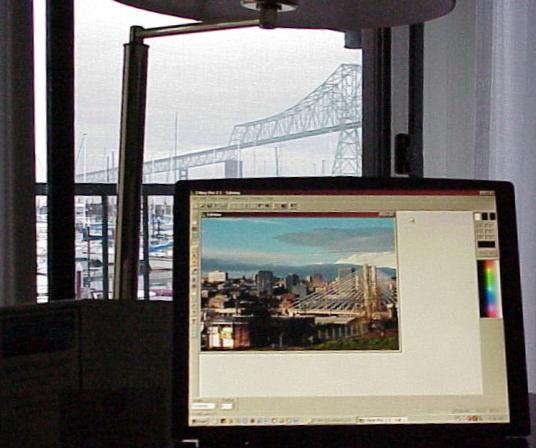
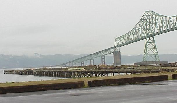
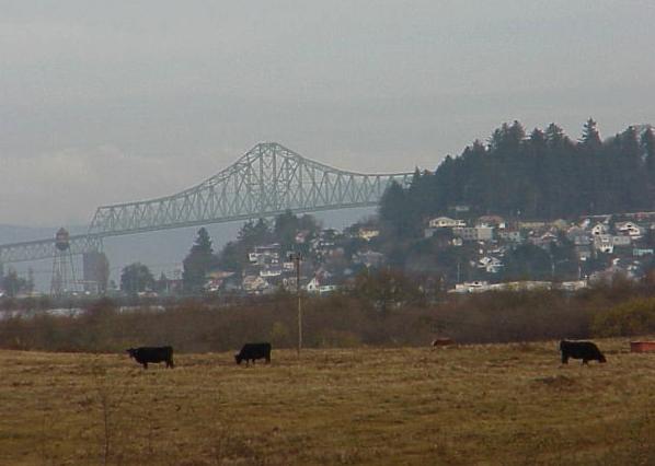
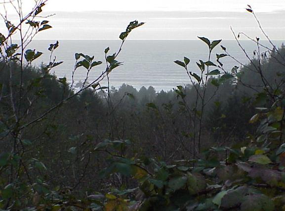
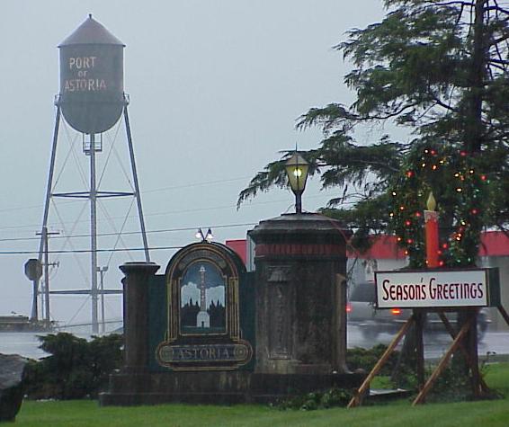
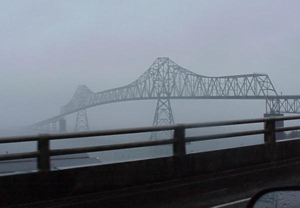
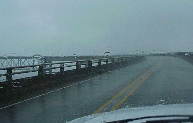
Back on the Washington side of the Columbia. The Astoria Bridge over the Columbia River is 4.5 miles long...
 
WA_Pacific_campsite.JPG (56283 bytes) WA_Pacific_campsite_statue.JPG (42405 bytes) WA_Pacific_campite_Explorer2.JPG (32651 bytes) 
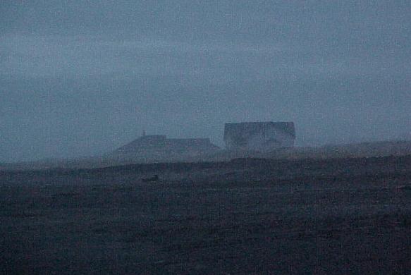
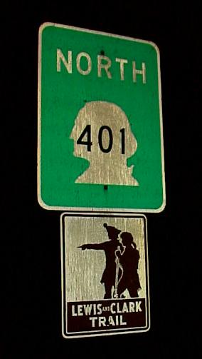
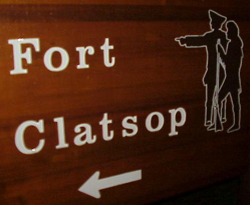
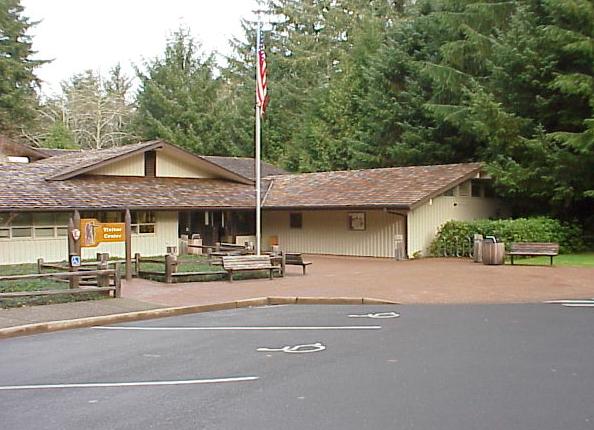
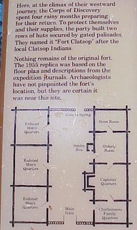
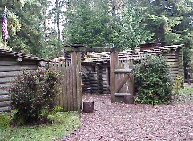
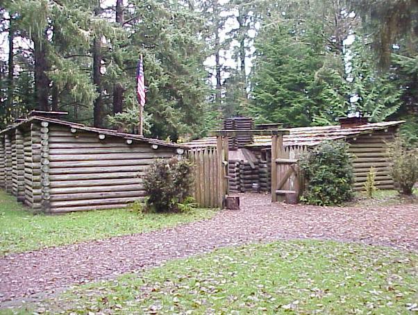
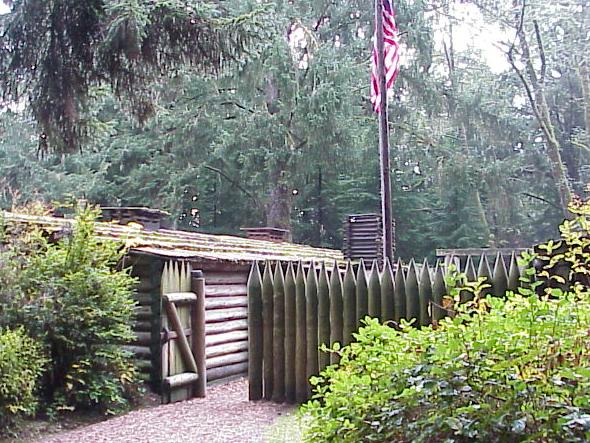
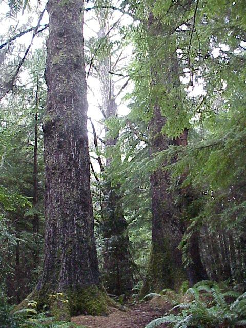
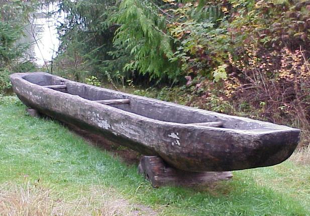
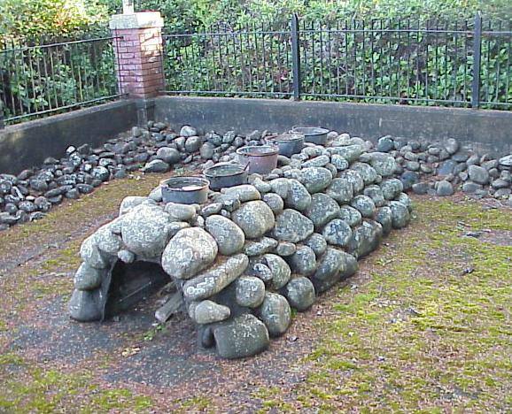
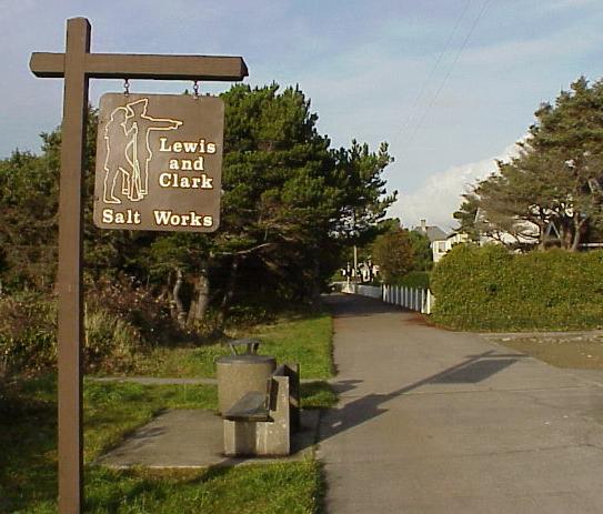
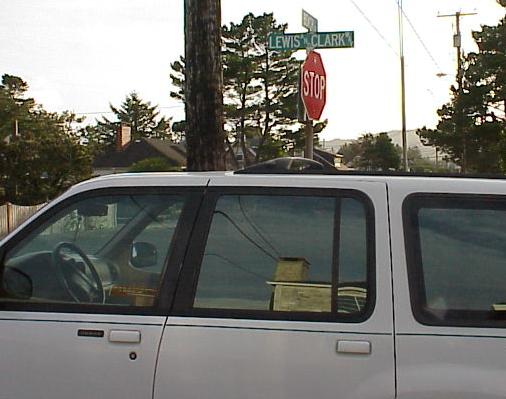
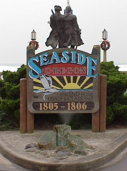
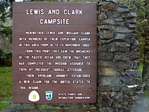
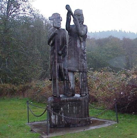
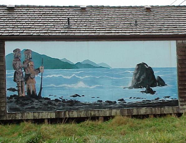
Upon reaching the Pacific in November of 1805, Lewis and Clark first camped on the northern (Washington) side of the Columbia River, at this spot. This camp was short lived and on the advice of the local Chinook Indians the expedition crossed over to the southern (Oregon) side of the Columbia and constructed Ft. Clatsop as winter quarters...
 
WA_Ilwaco.JPG (51757 bytes) WA_Long_Beach.JPG (38116 bytes) WA_Long_Beach_mural.JPG (61936 bytes) Long Beach, Washington...
 
Back through coastal Washington... to Seattle...
 
WA_Willapa_Bay.JPG (40037 bytes)  WA_Willapa_Bay_island.JPG (19158 bytes)  WA_Willapa_Bay2.JPG (15460 bytes)  WA_bridges.JPG (22434 bytes)  WA_Satsop_reactors.JPG (16374 bytes)  WA_Satsop_reactor.JPG (20071 bytes)
 
Seattle.JPG (40307 bytes)