 |
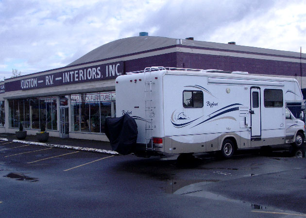
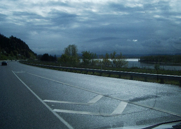
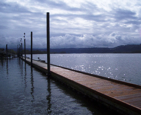
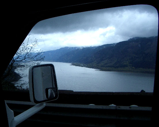
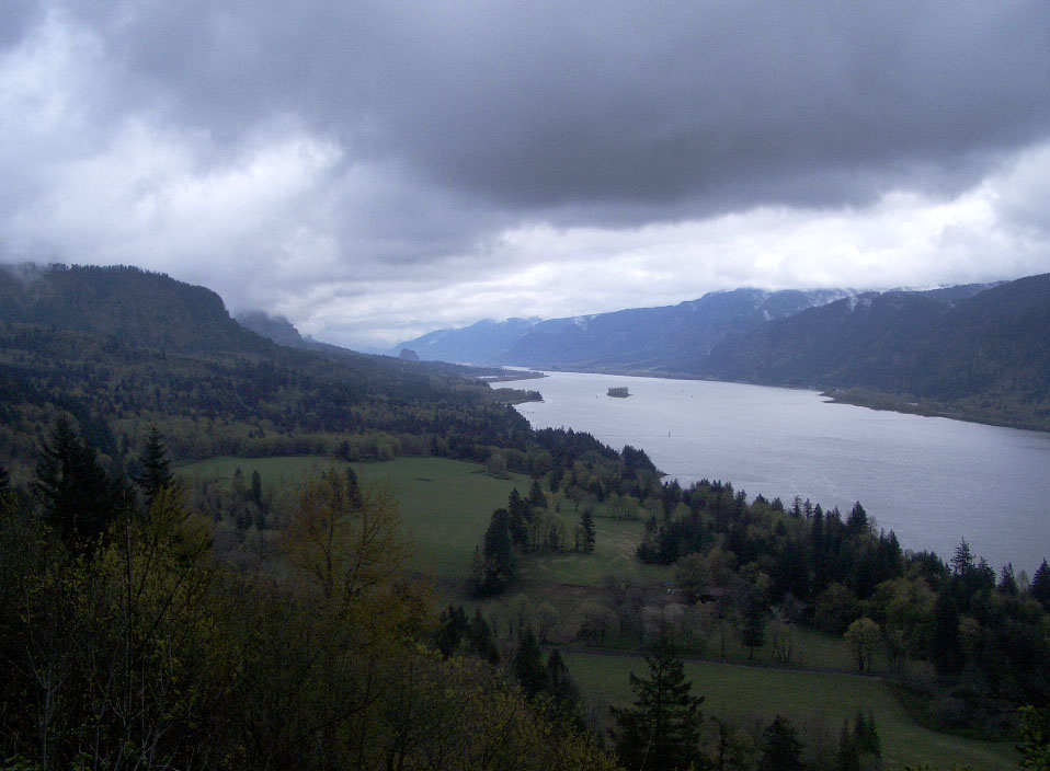
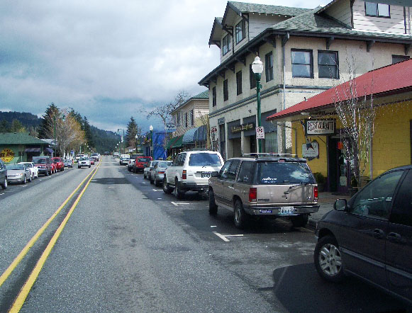
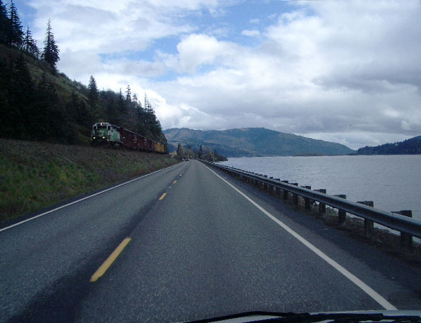
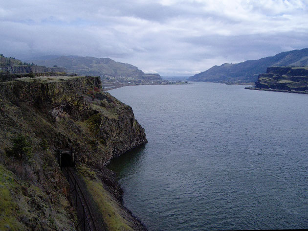
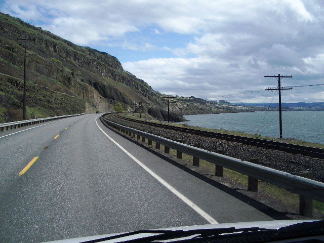
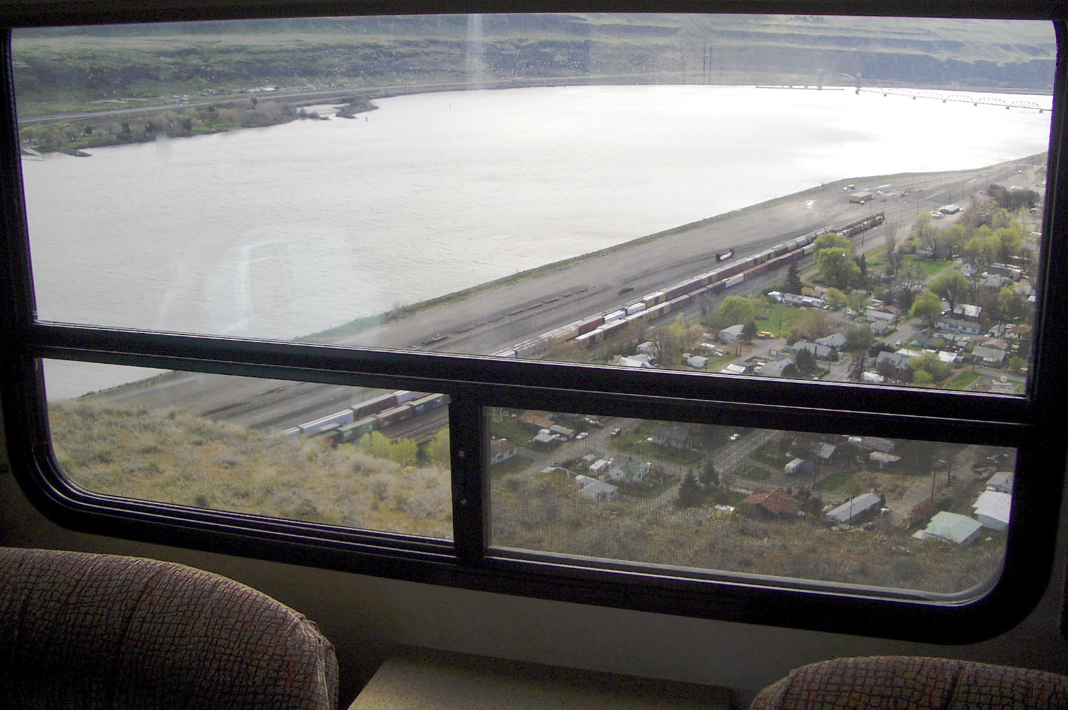
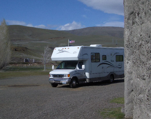
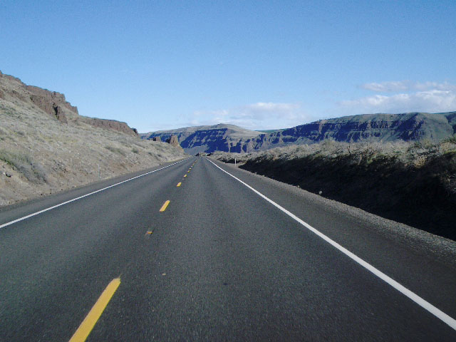
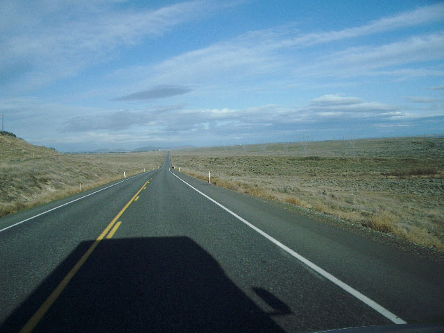
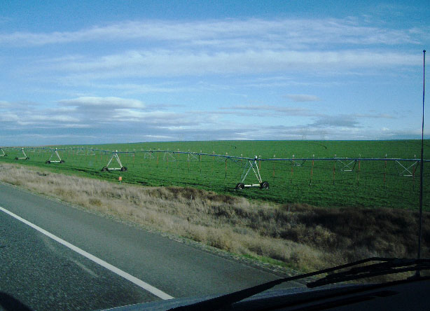
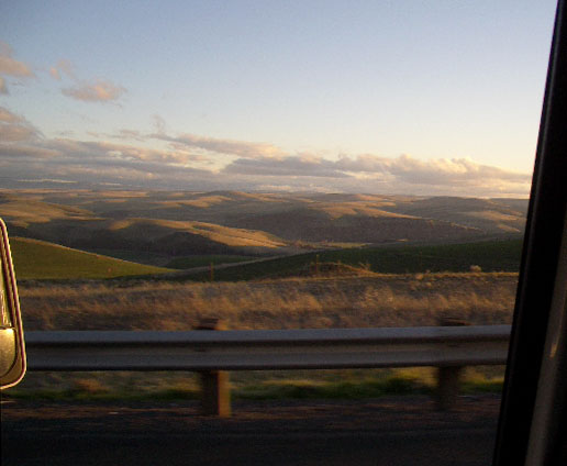
I began the day by driving back over the Columbia River from Portland to Vancouver, WA, back to Custom RV Interiors to tweak the fine work done the evening before... |

 |
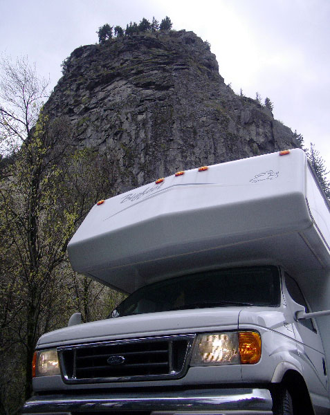 |
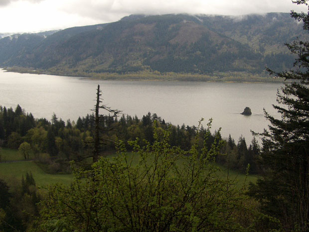
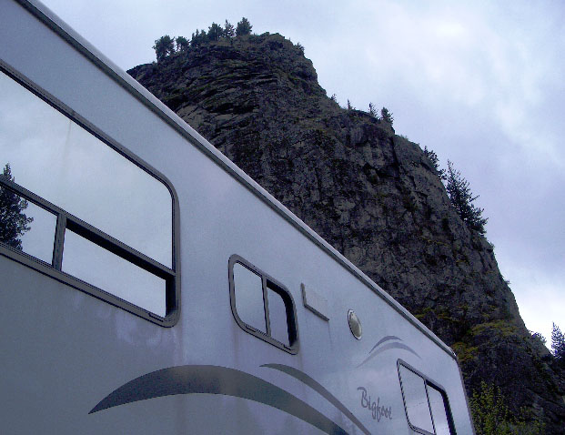
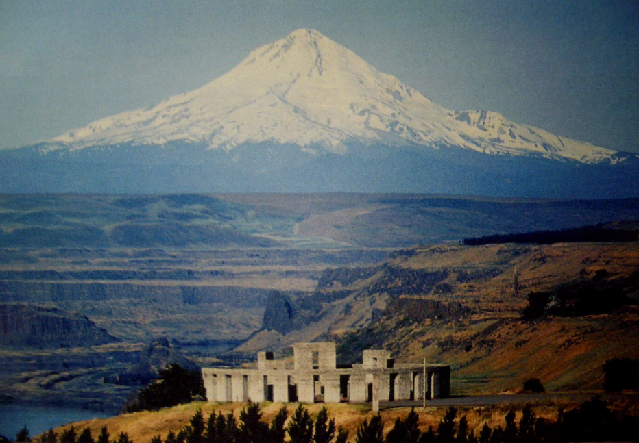
Beacon Rock... |
 |
 |
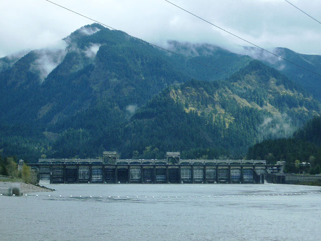
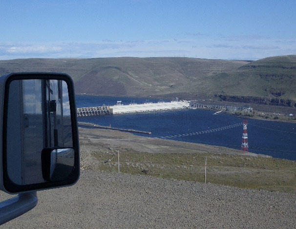
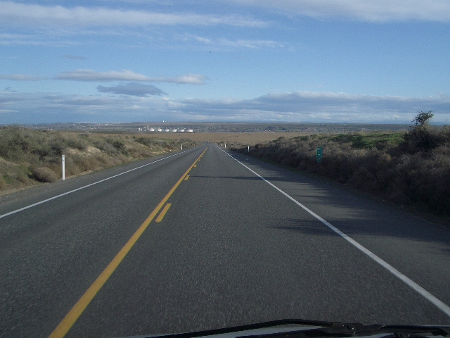
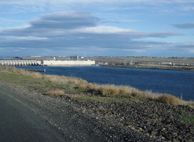
The Bonneville Dam... |
 |
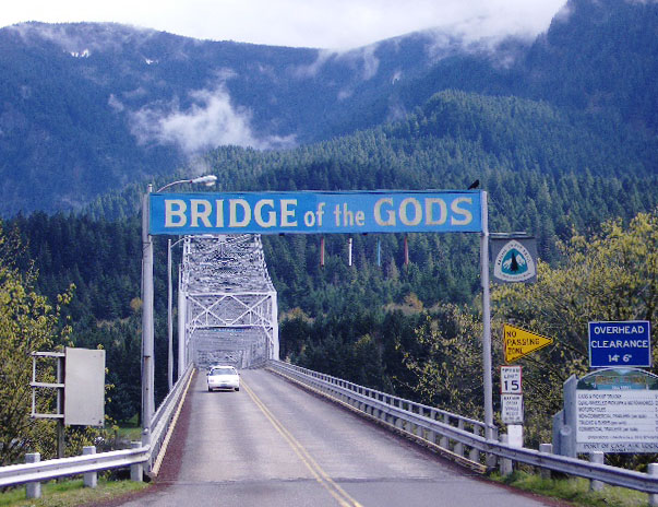 |
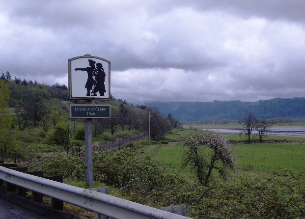
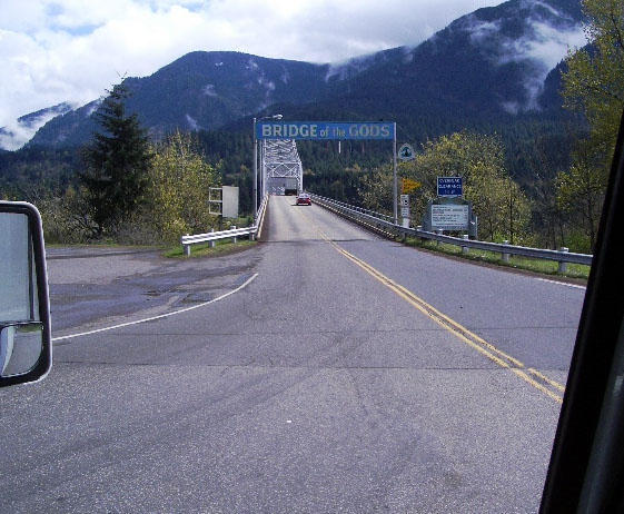
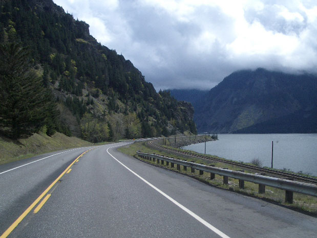
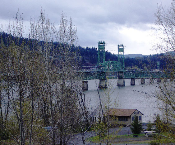
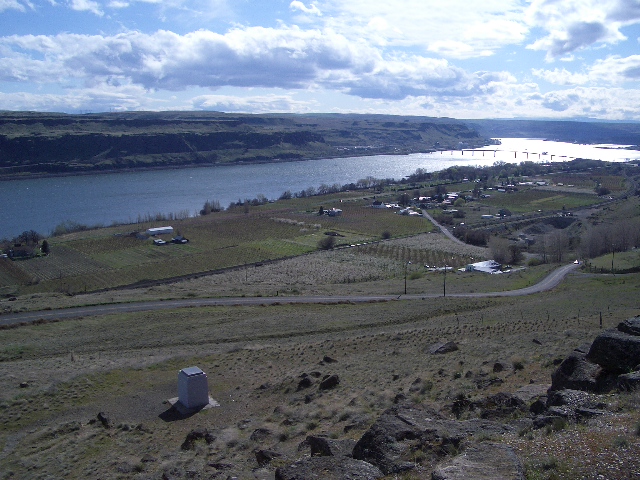
Bridge Of The Gods... facing Oregon, over the Columbia River. I stayed on the Washington State side of the river... |

 |
Postcard aerial view, facing westward toward Oregon's Mt. Hood... |
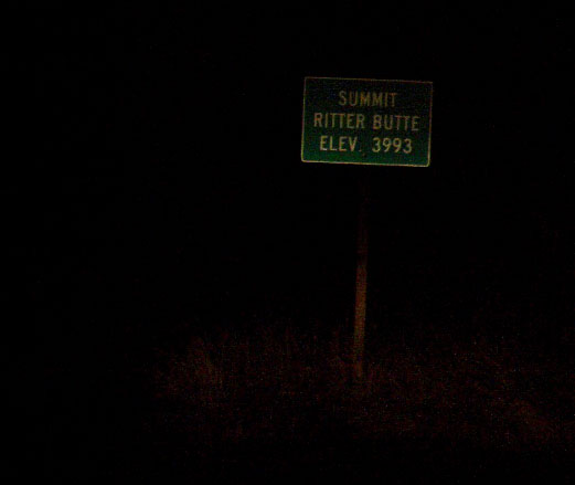 |
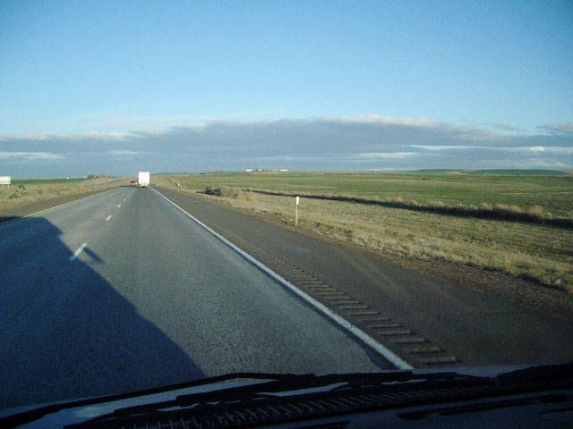
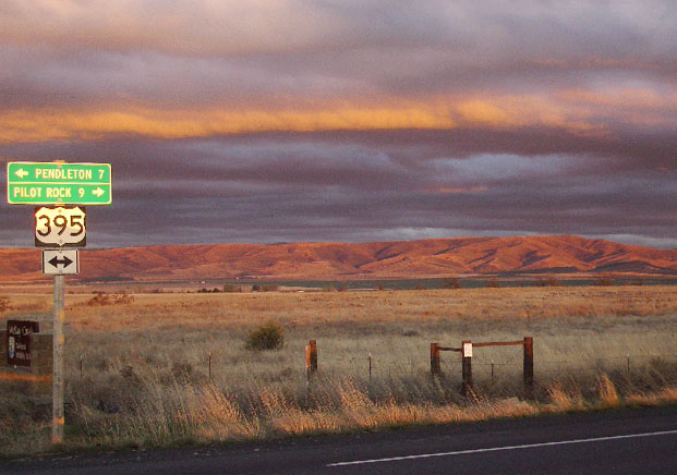
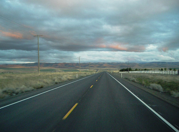
I proceeded through Pendleton and southward into the Umatilla National Forest as darkness fell. At Ritter Butte Summit I stopped and observed a sky filled with countless stars... |
 |
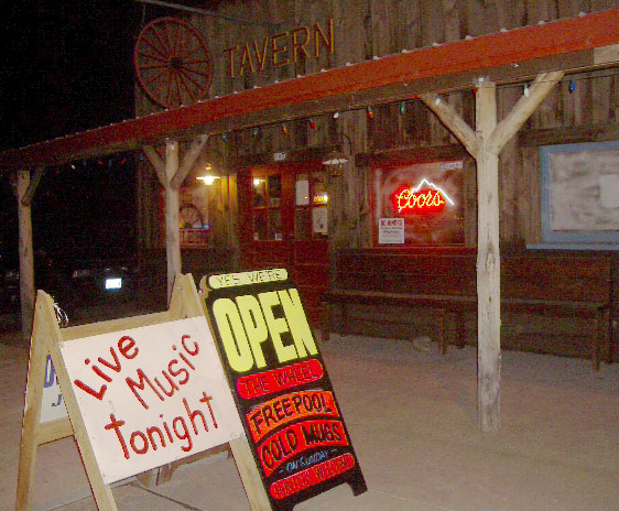 |
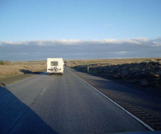
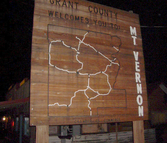
I made it to the small town of Mount Vernon by around 9:00pm. In the hundred plus miles from Pendleton to Mount Venom I passed barely a dozen other vehicles and lights were far and few in between. At Mount Vernon I parked beside the City Hall and found a watering hole next door called The Wheel... |